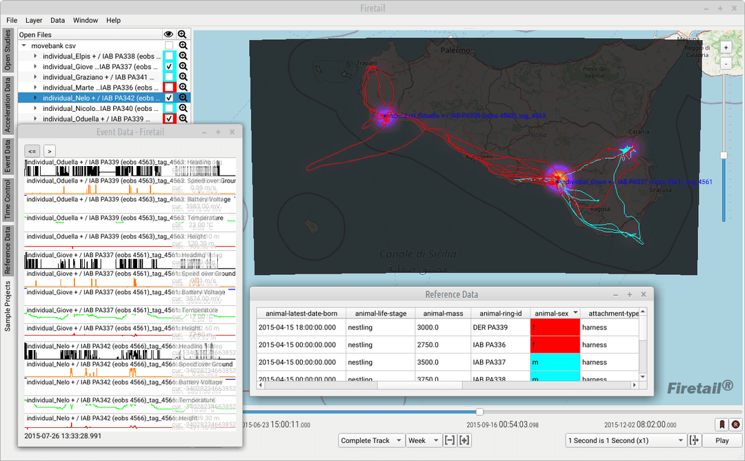

Thanks to your feedback, data samples and suggestions, Firetail 14 is now available!
What's new
- Base maps: Bing Maps has reached its end of life. Firetail now offers aerial and road base layers from Azure Maps, which complement OpenStreetMap nicely.
- Area statistics: the convex hull visuals come with a table of area approximations per individual or tag, so you can explore area coverage interactively.
- Bursts: select burst regions by GPS coverage (right-click on the GPS layer) and move selected bursts into a new group. This makes it easy to work with regions with or without location data, in a FireSOM context and for behavioral annotation in general.
- File formats: support for new e-obs file types and the 2025 Vectronic column names, and improved timestamp detection.
Since then
Firetail 14.0.2 (September 2025) added tag ids for Ecotone data, revised missing-value handling for Ornitela, support for cooperation-level licenses and a fix for corrupted acceleration sections in Movebank files.
All changes are listed in the changelog. Get Firetail and stay curious!
Get Firetail
free downloadGet started with Firetail today! Interactively process high-density data for multi-animal, multi-year projects!
“No risk: request a three-month trial, kickstart your analysis and see your data in an all-new light!”