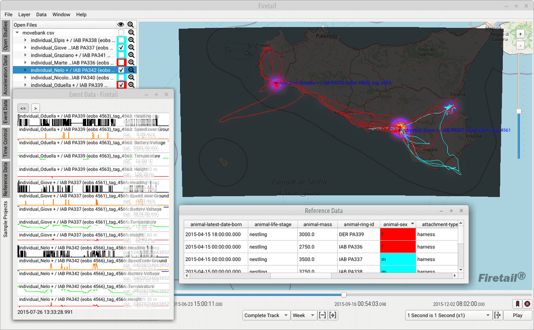
Collaring programmes, without the scripting
Wolves, lynx, wild boar, deer: your collars produce months of positions and sensor data, and someone has to turn them into maps and figures for the next report.
Firetail opens data from several collar vendors in one place and gives your team home ranges, movements and encounters at a click, without programming.
A desktop app for Windows, macOS and Linux: your data stays on your computers.
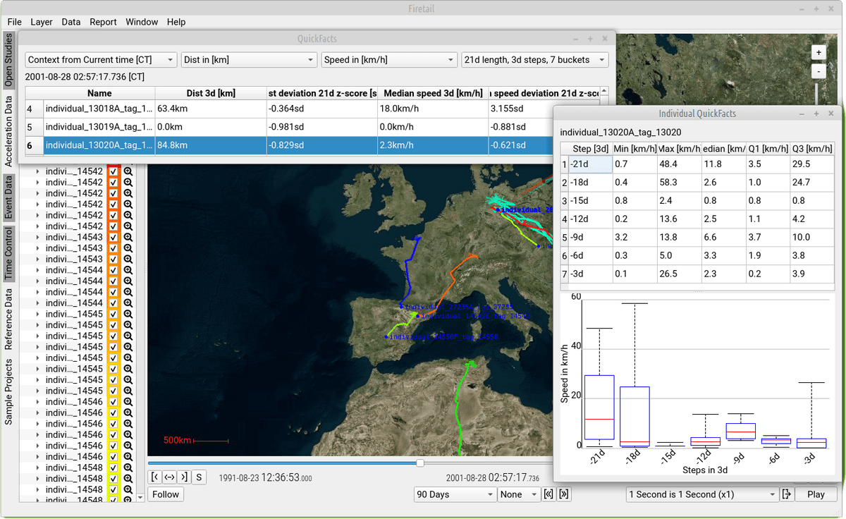
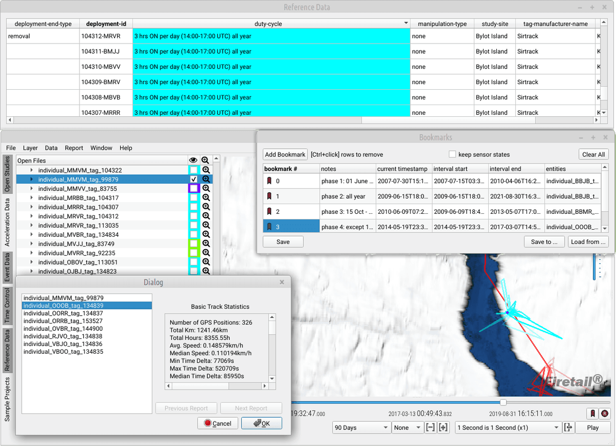
All your collars in one view
Download your Movebank studies and keep them up to date, or open vendor files directly: e-obs, Vectronic, Lotek, Telonics, Ornitela, Technosmart and more.
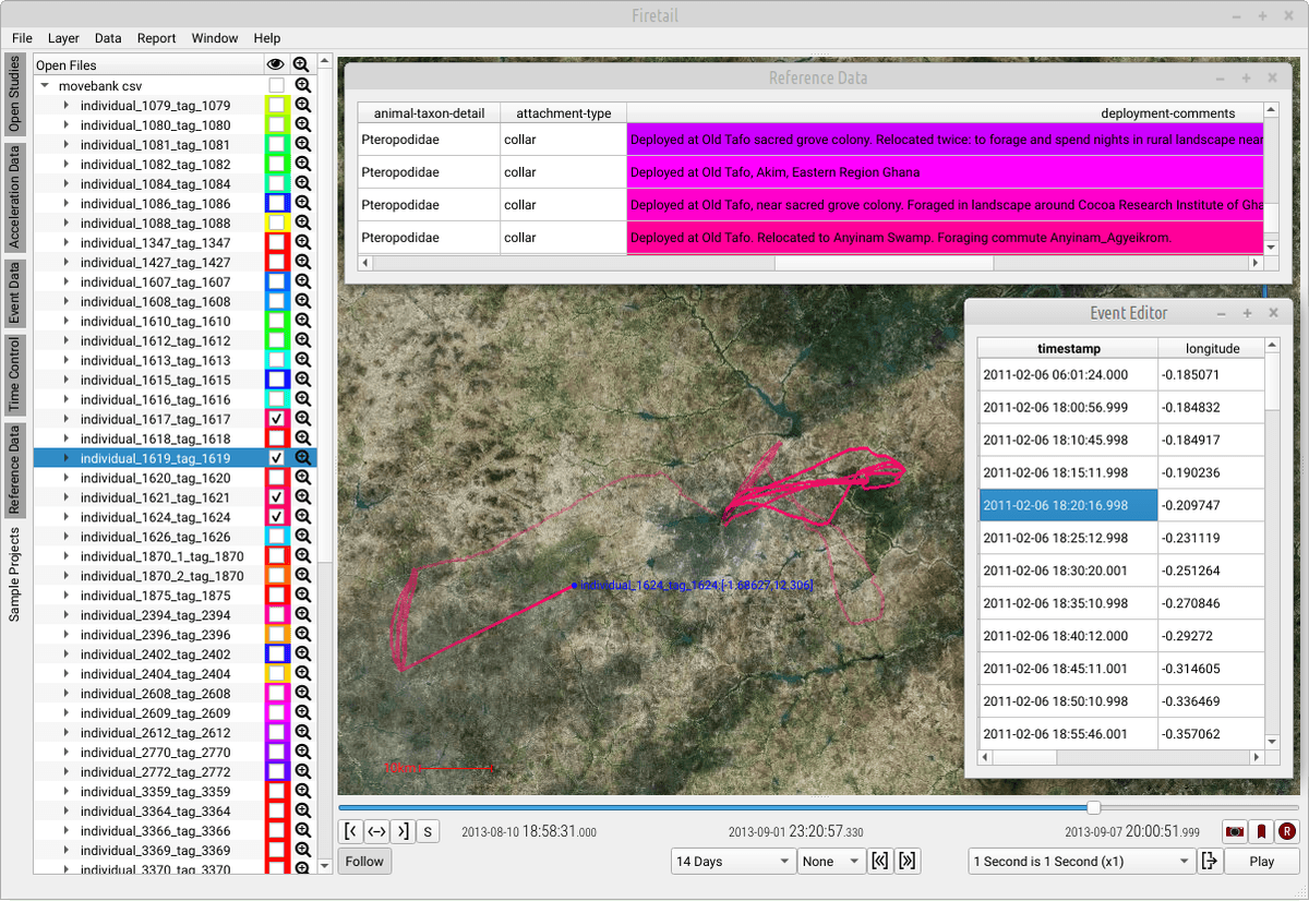
Navigate days, months and years of data for every animal, with GPS, activity and other sensor channels on the same timeline.
Filter implausible fixes by speed during import, and add deployment metadata as reference data.
Home ranges for your reports
Kernel density maps and contours for individuals or groups, for any time window you choose.
Minimum convex polygons with an area statistics window for the selected animals.
FireREACH, a direction-aware alternative to kernel density: it estimates where an animal could have gone between fixes, based on its own speed distribution.
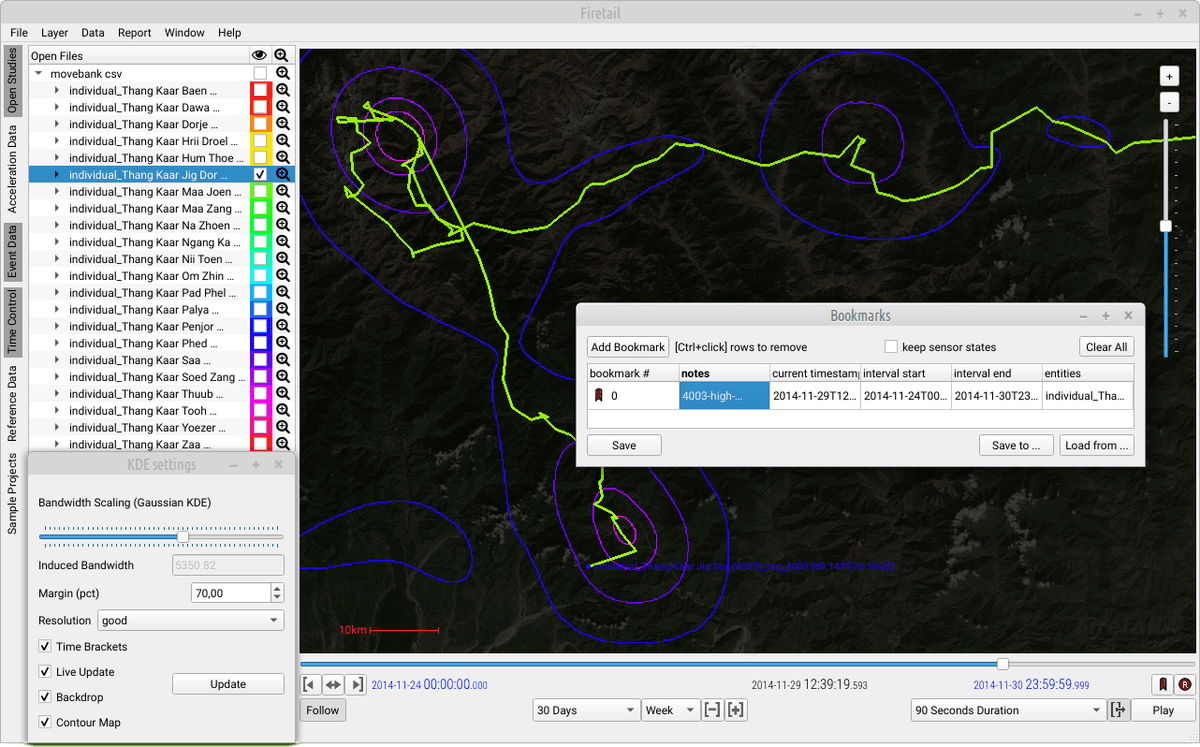
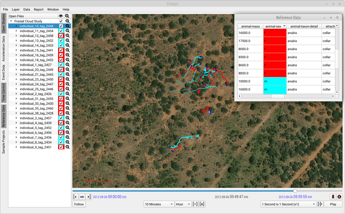
Where they stayed, and who met whom
Local episode detection finds the periods in which an animal stayed within a radius you set, such as resting sites or clusters worth checking in the field, and lets you inspect them one by one.
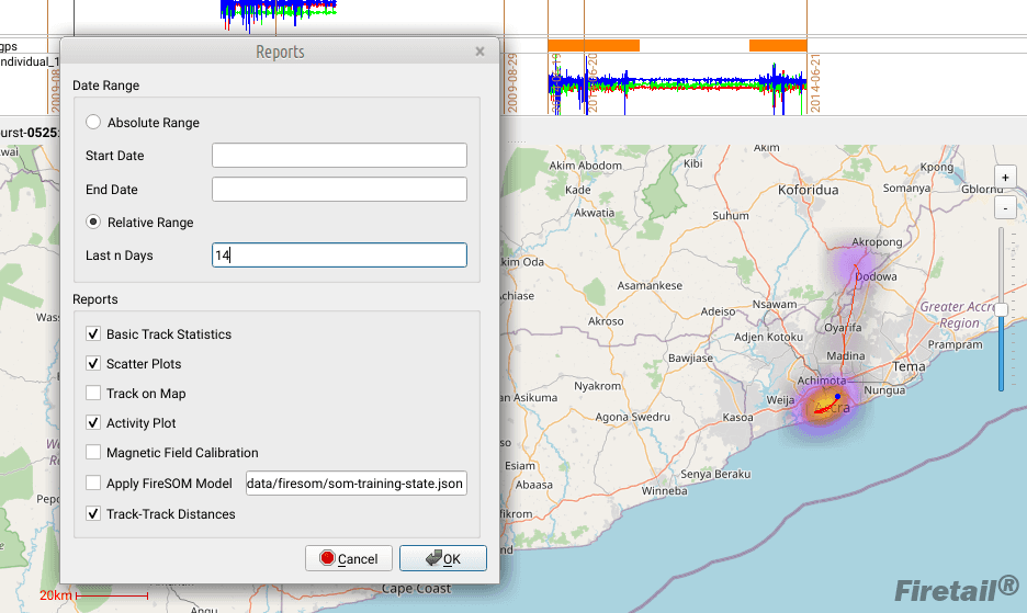
The track-track distance report gives minimum, median and maximum distances between all selected animals, sortable, with a jump to the moment two animals came closest.
Reports and routine work
The report module creates distance, speed and time statistics, activity plots and track maps for all selected animals at once.
With accelerometer collars, a FireSOM behaviour model can be applied to every animal in one step.
Export snapshots and videos for presentations and stakeholder meetings.
Offline and on your own computers
Firetail keeps working without a network: preload maps, work with local copies of your studies, open collar files read out on site.
Sensitive locations, such as dens and resting sites, stay on your machines.
Free one-hour consultation
Tell us about your programme, your collars and your questions. In a one-hour online meeting we look at them together and see whether Firetail fits.
Book a consultation →Get Firetail
free downloadGet started with Firetail today! Interactively process high-density data for multi-animal, multi-year projects!
“No risk: request a three-month trial, kickstart your analysis and see your data in an all-new light!”