News
Out now: Firetail 15
We're announcing Firetail release 15 featuring a new widget interface, track-track episodes, revised HUD viewport, FireREACH utility distributions, FFT KDE & e-obs data management.
read more →
 movement analysis and visualization for wild animal research
movement analysis and visualization
for wild animal research
unlock your data – get Firetail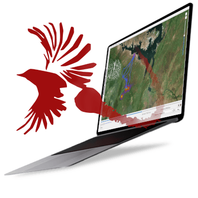
Firetail is a desktop application that lets you load GPS, acceleration, and sensor data from tagged wild animals, visualize their movements on interactive maps, and annotate behavior patterns at scale.
Connected to Movebank — the world's largest animal tracking database — Firetail handles multi-year, multi-animal projects with millions of data points. No programming required.
15+
countries worldwide
3
platforms (Win/Mac/Linux)
25M+
GPS fixes per project
100M+
sensor samples supported
Trusted by researchers and integrated with



Load all your tag's sensor data, location, and acceleration. Get a complete picture of your project!
read more →Be amazed by Firetail's range of use cases for annotation, visuals, and reporting tasks. Fast and reliable.
read more →Complex analysis benefits from Firetail's interactive views, statistics and data embeddings.
read more →“I can't say enough about your product! It's made life much easier for us to monitor our birds”
“I'm impressed at how fast Firetail is, well done!”
“a whole new level of behavioral research [...] The scientist gets up close to the studied animal again”
Link your Movebank account or import tag data files directly from e-obs, Technosmart, and other manufacturers.
Visualize GPS tracks, acceleration bursts, and sensor data on interactive maps. Navigate days, weeks, or years.
Label behavior patterns with FireSOM, Firetail's ML module. Create gold standards and predict at scale.
Export publication-ready visuals, statistics, and data slices. Share findings with your team instantly.
Commission a custom feature and get exactly what your project needs. It becomes part of Firetail for everyone.
We're announcing Firetail release 15 featuring a new widget interface, track-track episodes, revised HUD viewport, FireREACH utility distributions, FFT KDE & e-obs data management.
read more →Firetail 14.2 converts Vectronic motion data from Inventa Desktop to bursts and reads line-wise quaternion and magnetometer data.
read more →Our list of selected publications are now embedded as first class member of Firetail resources. Proud to feature the latest addition by Goodman et al. 2026.
read more →immerse yourself in your data from the very first second and access a wide range of analysis tools and visualizations
Whether you're a student, a funded researcher, or an institution — there's a path for you.
Copy-paste text for your proposal. Budget categories for all major funders.
Grant integration →