in-depth analysis
Complex analysis benefits from Firetail’s interactive views, statistics and meta-data embeddings.
embedded remote-sensing data
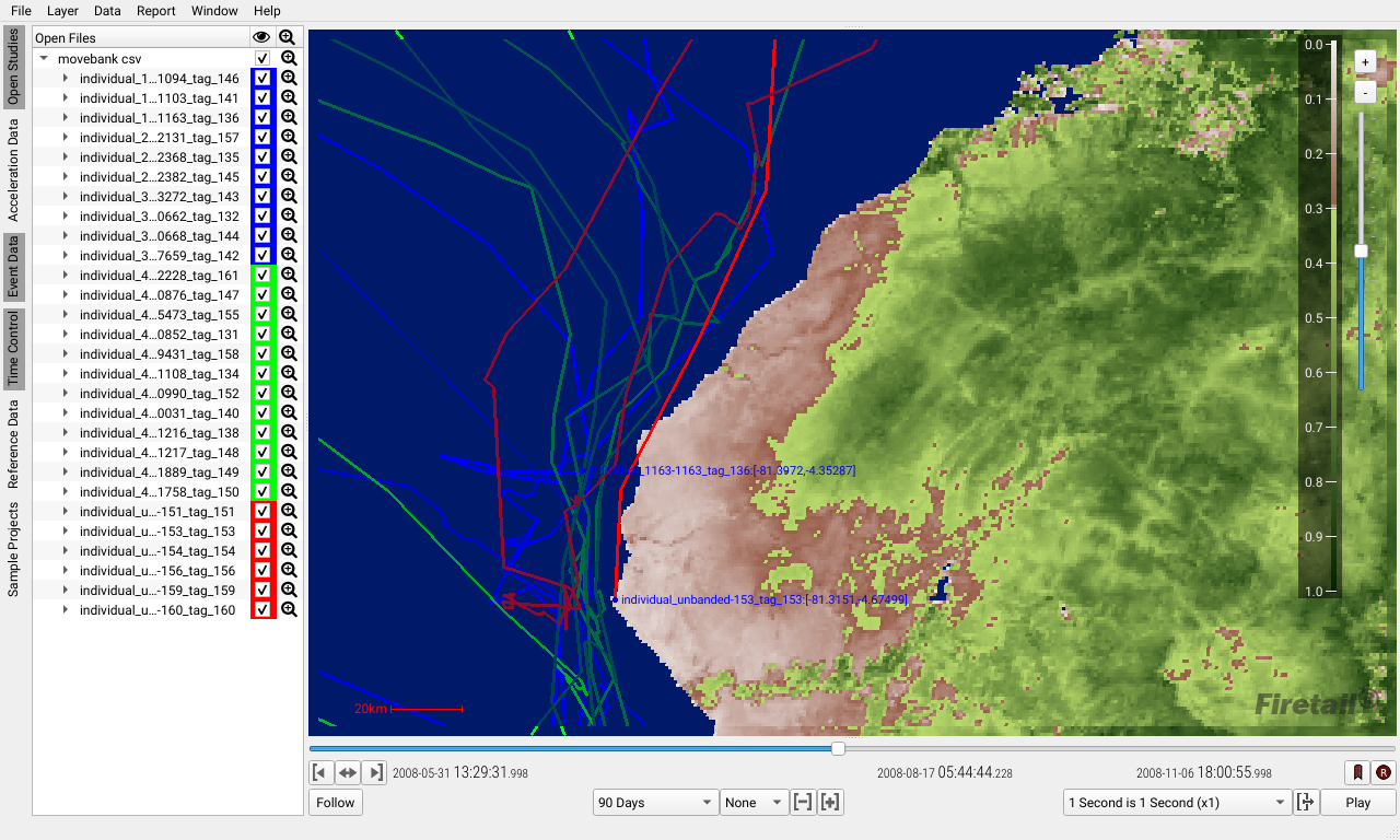
Firetail can use remote sensing maps to embed animal tracking data.
Interactively explore vegetation index data, explain migration patterns and observe how sea birds adapt to changing sea water chlorophyll concentration.
explore
spatial features
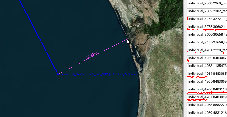
With FIretail’s interactive ruler, you measure with ease:
- Did the subject come close to a farm/wind park/highway bridge/sea side?
- Where and when did it approach?
- Did individuals interact?
Load custom map features using shape files, GEOTiff and KML to highlight national parks, boundaries or embed drone footage.
acceleration on a new level
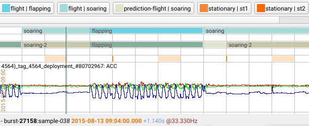
A blazingly fast navigation for huge acceleration data sets let’s you inspect and annotate activity at arbitrary granularities.
Whether you want to plot activity patterns on a daily basis or inspect behavior on the 100Hz level, Firetail got you covered.
Batteries included: Firetail comes with native support for a wide range of tag vendors like e-obs, Technosmart, Ornitela, Milsar, Vectronic and generic Movebank resources.
animal interaction
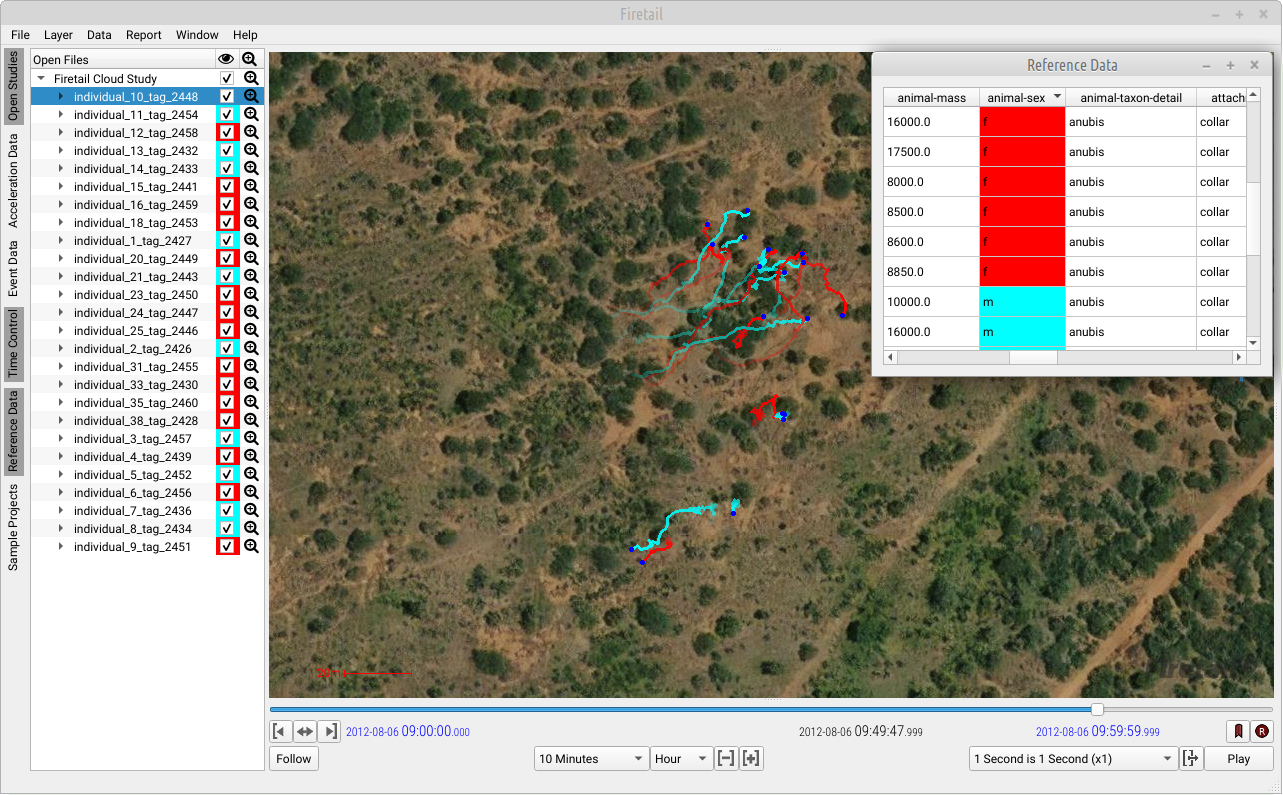
Inspect group behavior with multi-animal visualisations.
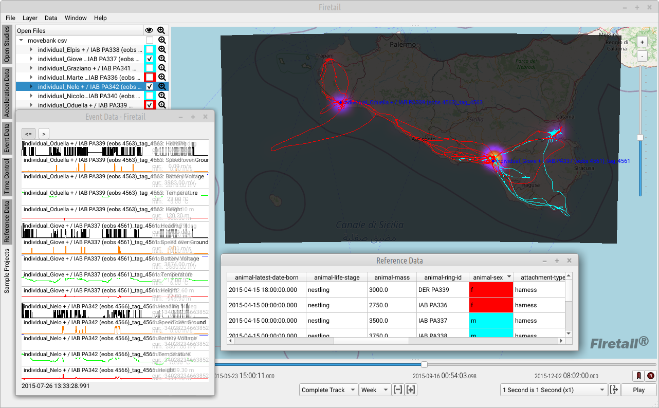
Easily select sub-groups from meta-data annotations, like Movebank reference data.
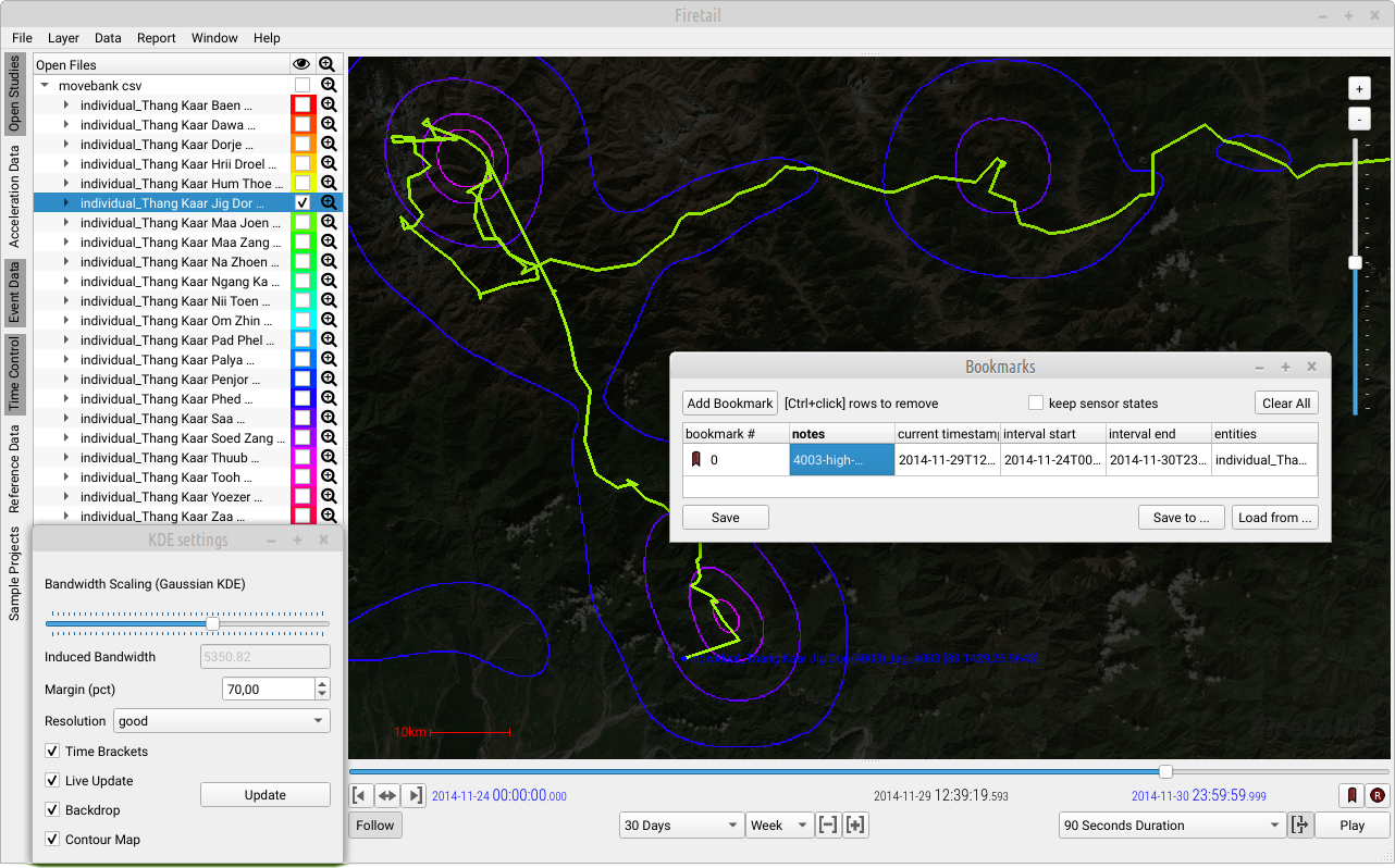
Compute individual and group-wise density heatmaps and contour maps. Identify group dynamics and export detailed csv annotations and video renderings in just a few clicks.
Get Firetail


movement analysis and visualization for wild animal research
